Google map of Hungary
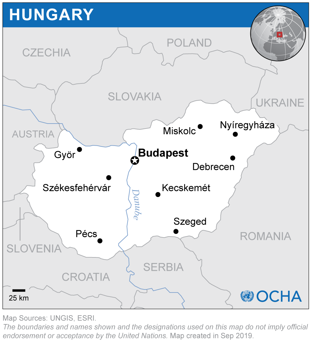
If you have no idea where Hungary is, you are not alone. This once huge country is hard to find on today’s maps, but if you take a look at Central Europe a little more closely, you will find it between Austria and Romania. Hungary is mostly flat, except for the hills on the North and by lake Balaton. The infrastructure is centered around the capital, Budapest, so everybody can find their way there.
Besides Budapest, seven other cities are shown: Miskolc, Nyíregyháza, Debrecen, Szeged, Pécs, Székesfehérvár and Győr. Highways connect the capital with all of them, but if you would like to see more than Budapest, Székesfehérvár is the closest to it. The area of Miskolc is famous for its white wine, while Pécs has great Cabernet Sauvignon.
On the map of Hungary, you might only find three lakes – Balaton, Fertő and Tisza – but there are a lot more places to swim. The country is so rich in thermal water that no matter where you go, you will find a spa nearby.
Also, there are five national parks where you can take walks around water, but there are others with specific sights. While Hortobágy is famous for it endless plains, Bükk and Őrség rather have wonderful hills, while Aggtelek is famous for its drip-stones.
If you zoom in to a certain city, Budapest for instance, you can also find places to visit, things to do, and even how to get anywhere with public transport. Go ahead and check what you need. You can even watch them for yourself on a larger map or in street view if you follow the link at the top left. This way, you will always find your way to get around, so you will never get lost in this amazing, historic country.